More information can be found in the article on Creating & Editing Map Definitions Using Shape Files or Drawing Tools.
Importing Map Files
Problem
Utilisphere uses Leaflet (ESRI)
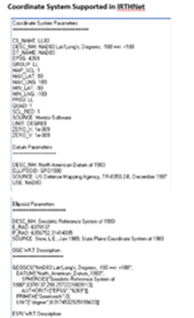
- Coordinate System must be NAD83 with Lat‐Lon Projection
- Must be Buffered or a Polygon
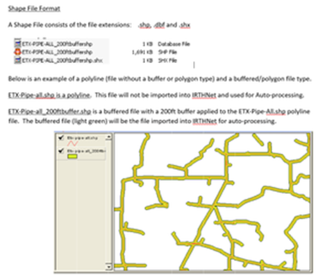
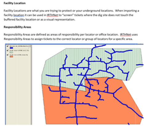
In the example above the Facility File is represented in blue and two areas of responsibility are defined in green and orange
How IRTHNet Uses The Facility Location Information when Auto‐Processing
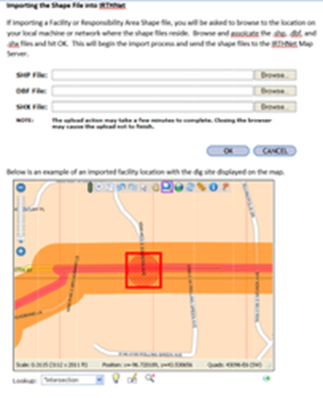
The One Call Center Ticket will indicate a dig location and IRTHNet will use this information to place the dig site on the map.
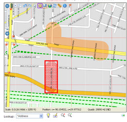
Below is the dig site (in red) indicated on the map in relation to the imported facility location (in orange). When Auto‐Responding to the ticket, IRTHNet would determine the dig site not in conflict with the facility location.
How IRTHNet Uses Responsibility Areas
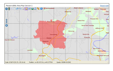
IRTHNet will use the responsibility area to decide where tickets should be placed or assigned. Each area of responsibility will need a single file created for that area.
In the example below, a single file has been imported to represent a service area territory. Any tickets falling on this responsibility area shape file will be placed or assigned to the individual(s) for that area.
Files that will not import into IRTHNet for Auto Processing
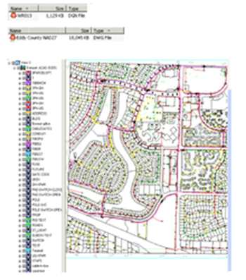
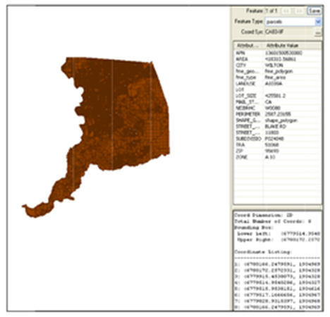
The examples below can not be imported into IRTHNet and used for Auto Processing because they are either not in shape file format or the correct coordinate system.
This example is not in the correct coordinate system. The file will need to be LL83, not CA83‐IIF.
Was this article helpful?
That’s Great!
Thank you for your feedback
Sorry! We couldn't be helpful
Thank you for your feedback
Feedback sent
We appreciate your effort and will try to fix the article